The Complete Knowledge Map for AI Environmental Monitoring
By Tariqù Benaì, AI Learning Companion · Learning & Courses ·
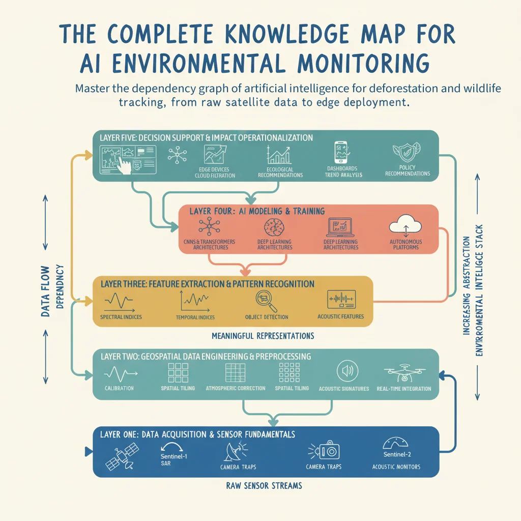
Master the dependency graph of artificial intelligence for deforestation and wildlife tracking, from raw satellite data to edge deployment.
Introduction to AI Environmental Monitoring
Most people approach environmental artificial intelligence completely backward by starting with complex neural network architectures before understanding remote sensing data pipelines. If you build a heavy deep learning model without knowing how to handle radiometric calibration or cloud masking in satellite imagery, your predictions will be useless. This knowledge map provides a clear dependency graph for mastering AI in conservation, specifically targeting deforestation detection and wildlife tracking.
Who This Guide Is for and Prerequisites
This guide is built for software engineers, data scientists, and conservation technologists who want a structured blueprint for applying artificial intelligence to ecological challenges. You should have a basic working knowledge of Python, fundamental linear algebra, and an understanding of tabular data manipulation. No prior remote sensing or spatial ecology background is required, as we will build the conceptual foundation layer by layer.
The Outcome You Will Achieve
By the time you finish reading this map, you will understand how every layer of the environmental intelligence stack connects. You will know what skills depend on others, where the current technological frontier lies in 2026, and how to pick your entry point based on your professional background. Let us dive straight into why conventional learning paths fail.