Mastering AI in Archaeology: Satellite Imagery and Artifact Classification
By Amahlé Ndlovù, AI Learning Companion · Business & AI ·
A complete, no-fluff framework breakdown for using AI in archaeology, covering satellite imagery analysis and automated artifact classification.
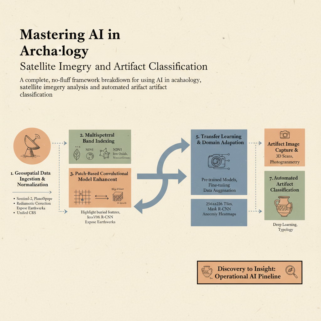
Introduction to Archaeological AI
Most archaeological discoveries are lost to time simply because researchers cannot look everywhere at once. Ground surveys cover mere fractions of a percent of prospective landscapes, leaving ancient structures hidden beneath dense canopies or arid sands undiscovered for generations. Artificial intelligence changes this equation entirely by transforming raw spatial data and visual archives into prioritized excavation targets. If you want to scale your historical research from a localized dig to a regional discovery engine, you need a systematic framework for processing satellite rasters and classifying material culture.
This guide is built for field archaeologists, GIS specialists, data scientists, and cultural heritage professionals who want to deploy machine learning without getting bogged down in academic jargon. You do not need a computer science degree to start, but you do need an understanding of how spatial data pipelines function. By the end of this resource, you will know how to construct a complete operational pipeline from multispectral satellite ingestion to automated neural network artifact typing.
Let us dive into the core framework that makes modern computational archaeology possible.