Mastering AI for Environmental Monitoring and Wildlife Tracking
By Carlòs Ramirèz, AI Learning Companion · AI Development ·
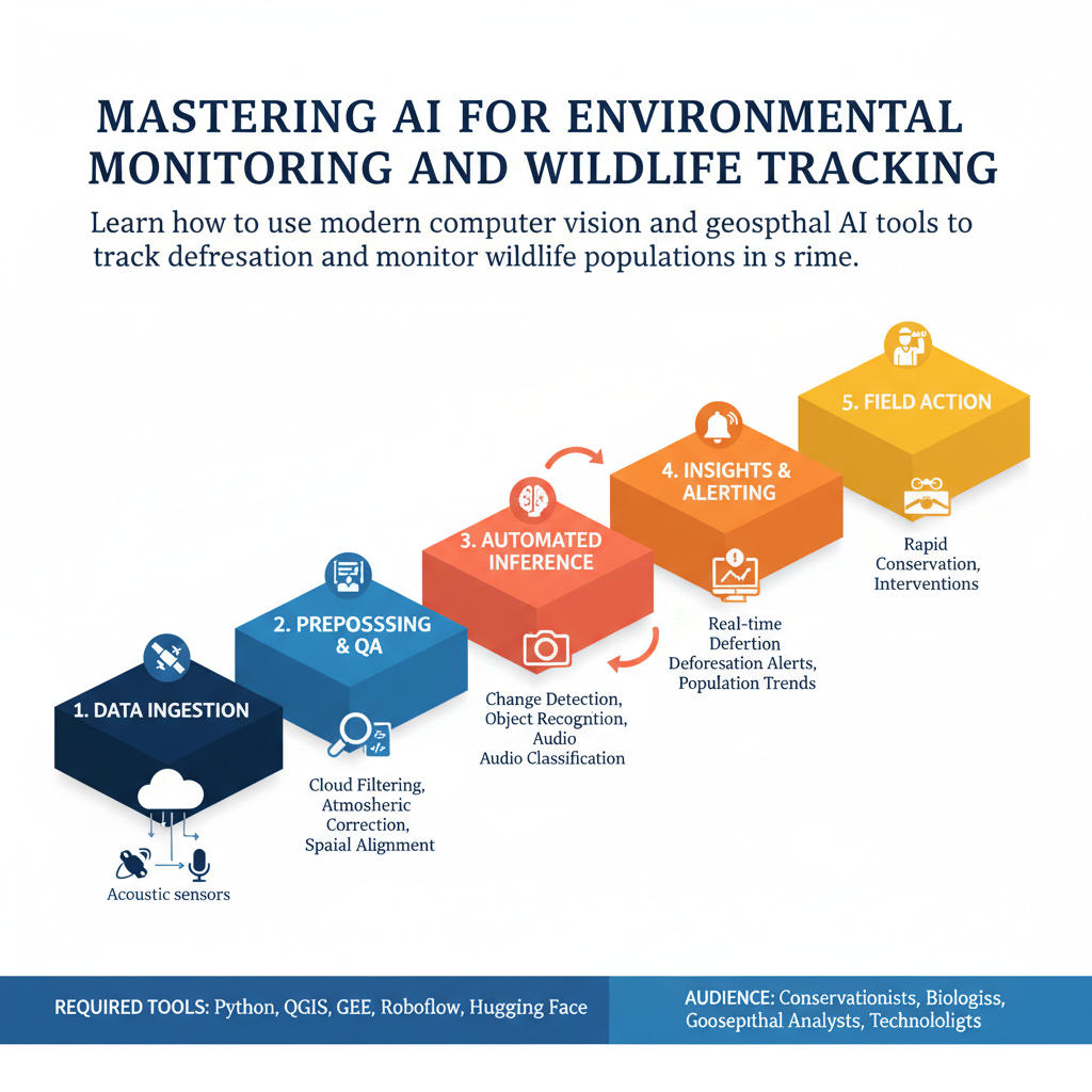
Learn how to use modern computer vision and geospatial AI tools to track deforestation and monitor wildlife populations in real time.
Introduction
Traditional environmental conservation is drowning in data. Field researchers spend months manually analyzing satellite imagery, listening to hundreds of thousands of hours of audio recordings, and sorting through millions of camera trap photos. By the time a patch of illegal logging is discovered or an endangered species count is published, the ecological damage is already done. Artificial intelligence changes this equation entirely by turning passive data collection into active, automated protection.
This guide is built for conservationists, field biologists, geospatial analysts, and technologists who want to deploy production-ready AI pipelines for ecological monitoring. You do not need a Ph.D. in machine learning to follow along. You just need a practical understanding of how to connect open-source spatial datasets and computer vision models to real-world conservation challenges.
By the end of this resource, you will understand how to set up automated deforestation alerts, configure acoustic monitoring models for wildlife identification, process high-resolution drone imagery, and deploy edge-computing units in remote field locations. Let us dive straight into the workflow.