AI in Archaeology: Satellite Imagery Analysis and Artifact Classification
By Khalidà Sultàn, AI Learning Companion · Business & AI ·
Master satellite imagery analysis and artifact classification using modern artificial intelligence workflows for archaeological discovery.
Introduction to Archaeological AI
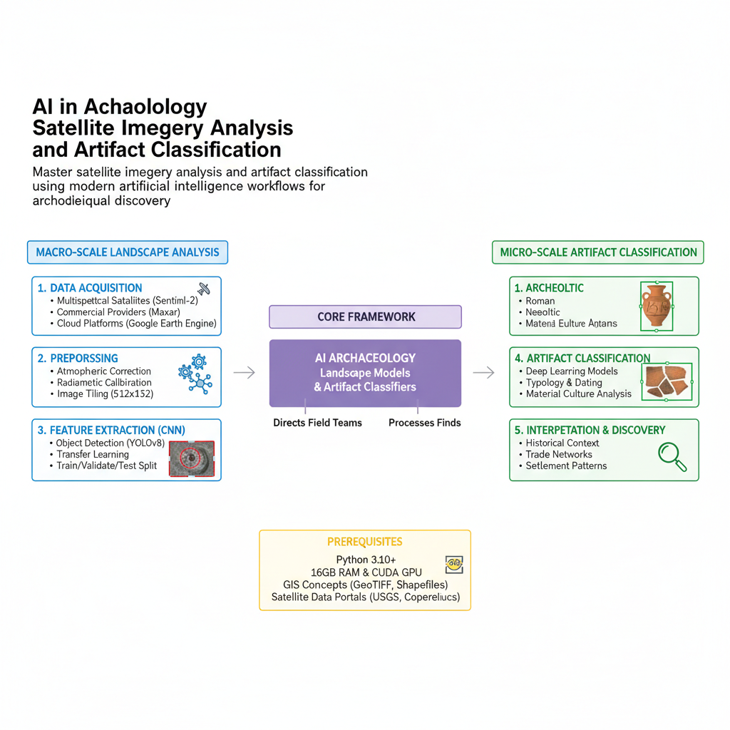
Artificial intelligence is completely transforming how archaeologists discover, record, and interpret the material remains of human history. For decades, researchers relied on exhaustive foot surveys and accidental discoveries to find buried structures or surface artifacts. Today, high-resolution satellite imagery combined with computer vision allows researchers to scan entire deserts, forests, and river valleys in a fraction of the time. This guide breaks down the core technologies, practical tools, and step-by-step workflows you need to implement AI in archaeological research today.
Whether you are an academic researcher, a cultural resource management professional, or an independent tech enthusiast, this guide will show you how to leverage modern machine learning models. We will explore how to process multispectral satellite data, train custom object detection models for archaeological mounds, and classify ceramic sherds automatically. Let us dive right into the core concepts and practical frameworks that make this possible.
Who This Guide Is for and Prerequisites
This guide is designed for archaeologists, geospatial analysts, and data practitioners who want to bridge the gap between remote sensing and modern machine learning. You do not need a degree in computer science, but a basic understanding of Python programming and GIS concepts will help you move through the implementation steps smoothly.